It was a beautiful spring day….. In January.


It was a beautiful spring day….. In January.

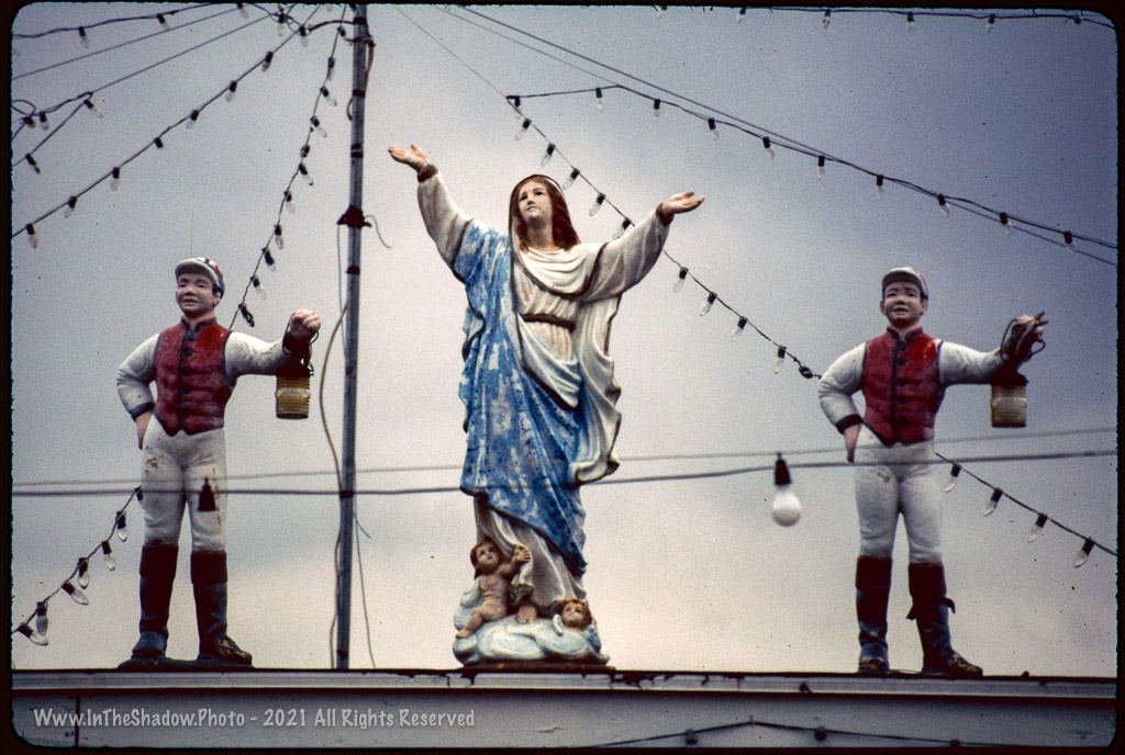
One from archives – Juniata Park in the 90’s.
Shot on Ektachrome 100 with a Nikon N6006 – Probably with that little plastic 35-80 AF-D kit lens
Scanned at home
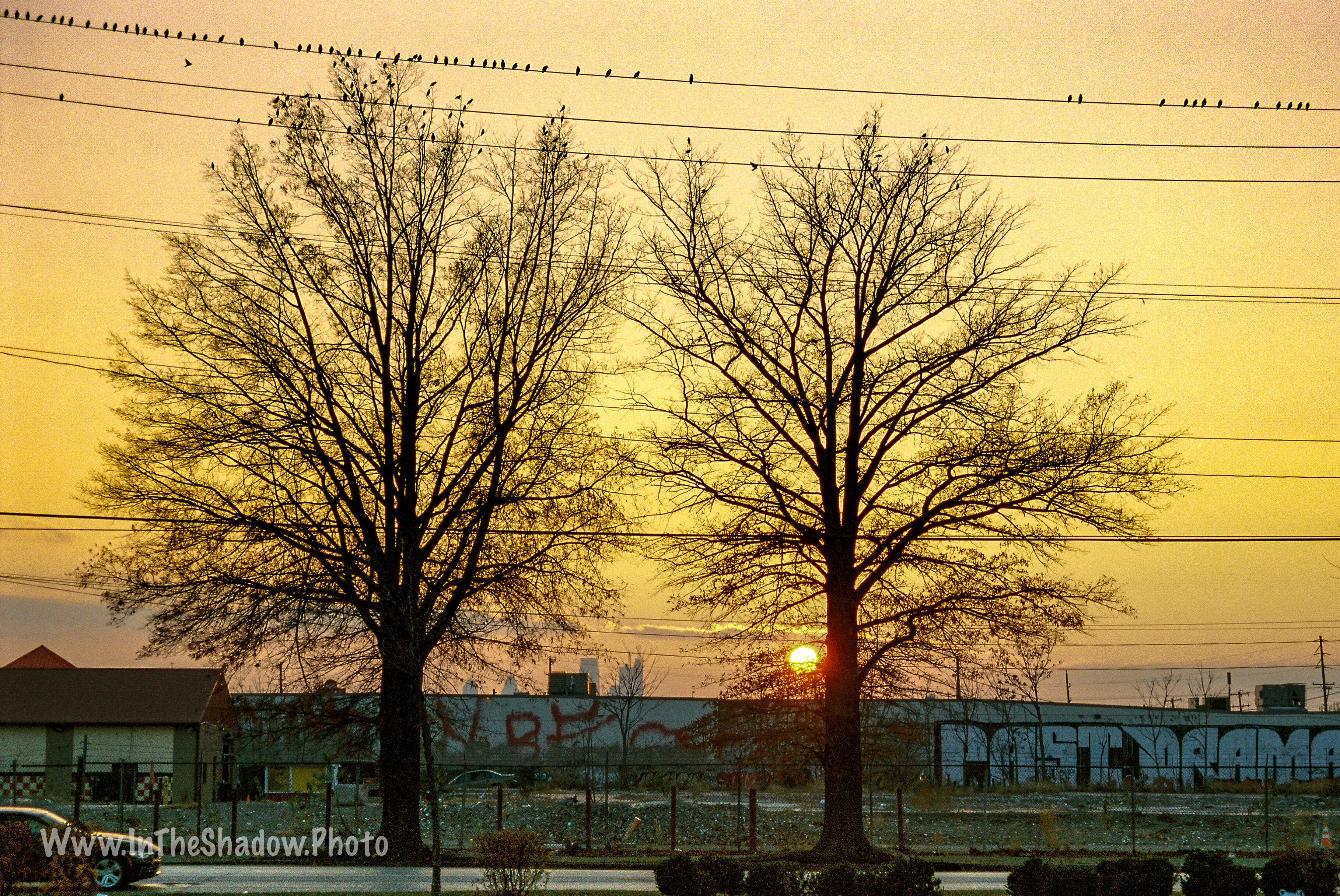
Hit the NJ Turnpike southbound on our way back from Thanksgiving in NewEngland. Somewhere near Exit 8 stopped for a break and found some evening light.


Friday morning on the El… #tgif #septa #sunrise
I started out giving myself a project of picking my 12 favorite shots from 2017 because…. well its that time of year… Anyway, that quickly got out of hand, so I gave up on that and changed the self assignment to pick 12 shots from 2017 that I like but hadn’t posted. That morphed into putting together a cross section of shots from 2017 that represented some experiments, diverse content, cameras and medium (35mm and Medium Format film, and digital). 12 grew to 13… Cuz I wanted the Meek Mill pic in there… So here it is.


Cameras Used: Nikon D300 (Digital), Nikon F100, Nikon FE2, Zorki 4, Yashica D
Films Used: TriX, Kodak Portra 400, HP5, Fomopan100
Grab shot on my Monday morning walk to the L…
Kodak Portra 400 developed and scanned by local lab –
Nikon F100 50mm f/1.4 AfD (Hand Held 1/25sec @ f/1.4)
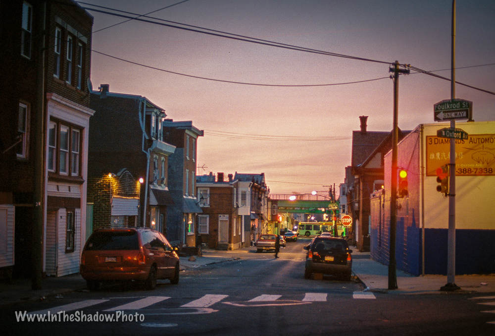
Butler and Aramingo – looking south from the Lowes parking lot
The area around Castor and Armingo Ave – a neighborhood no man’s land between Port Richmond, Bridesburg, Kensington, Frankford, and Tacony – is an old industrial corridor whose mixed fortunes have followed the rise and fall of Philly’s manufacturing economy. Today big box stores, strip malls, vacant lots, light industry, rail lines, and abandoned factories coexist with working class rowhouse blocks and a new ‘luxury townhouse’ development.
Shot on Kodak Portra 400 – Developed and scanned by local lab
Nikon F100 28-105 f3.5-4.5 AF-D Lens (75mm 1/320 sec @ f/ 5.6)
TGIF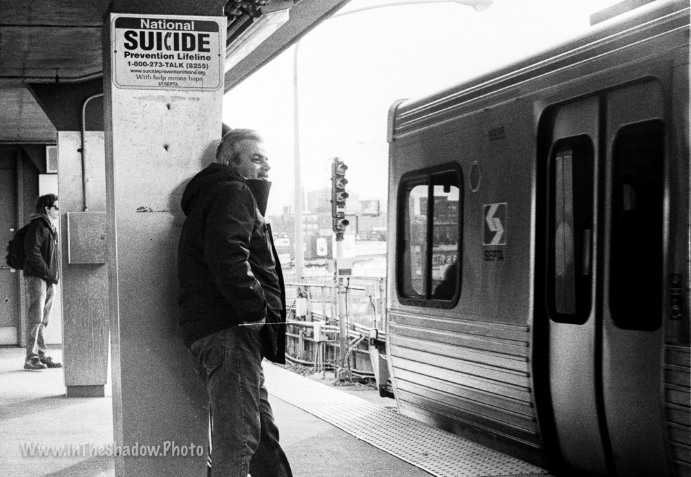
Shot on 35mm Kodak TriX developed and scanned at home – Zorki4 w/industar 50mm F3.5 lens
Juniata Park is one of Philly’s more bipolar neighborhoods… It always self identified as being part of the North East, but its feet are firmly in the ‘K‘. My Grandmother moved up here ‘..from Lycoming St….’ right after WW2. They bought a brand new rowhouse on M St. (she always said the paint was still wet when they moved in) in a development being built on an apple orchard. She could look out her kitchen window at the apple trees, until they built everything up westward to G St. On the Eastside are the Carl Mackley Apartments, built by the hosiery workers union in the 1930’s and named after a striker who was murdered by scabs.
The demographics have changed over the years but it remains a strong home owning working class enclave. Over the years the realtors have stretched the boundaries of ‘Juniata’ all the way out to 5th and Hunting Park Ave, but the core neighborhood is nestled between ‘The Mackley’ on Castor Ave, westward out to G St where light industrial development starts, and from Frankford Creek south to Erie Ave.
We were down at the local supermarket so my son could practice his driving and the sky started to do this, one reason why you should always carry a camera… I made him pull over while I took a few shots. The first cityscape is looking west on Wyoming Ave, the 2nd looks south over the Tacony Creek wasteland towards the rock crusher (The supermarket and most of the surrounding commercial properties were built on what was once a small Reading Railroad branch line and freight yard that served the Frankford Grocery Terminal and associated industries).
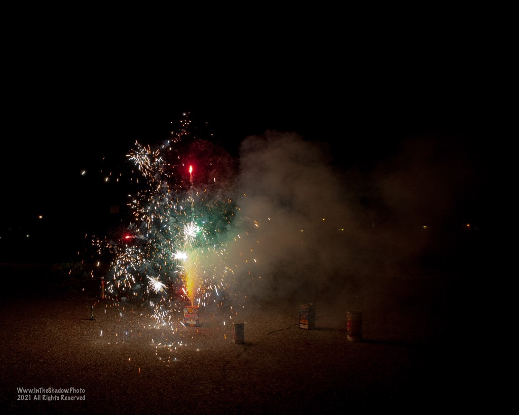
The empties aren’t mine….


Nikon D300 w/28-105 AfD lens
