Juniata Park is one of Philly’s more bipolar neighborhoods… It always self identified as being part of the North East, but its feet are firmly in the ‘K‘. My Grandmother moved up here ‘..from Lycoming St….’ right after WW2. They bought a brand new rowhouse on M St. (she always said the paint was still wet when they moved in) in a development being built on an apple orchard. She could look out her kitchen window at the apple trees, until they built everything up westward to G St. On the Eastside are the Carl Mackley Apartments, built by the hosiery workers union in the 1930’s and named after a striker who was murdered by scabs.
The demographics have changed over the years but it remains a strong home owning working class enclave. Over the years the realtors have stretched the boundaries of ‘Juniata’ all the way out to 5th and Hunting Park Ave, but the core neighborhood is nestled between ‘The Mackley’ on Castor Ave, westward out to G St where light industrial development starts, and from Frankford Creek south to Erie Ave.
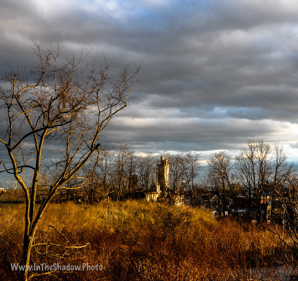
We were down at the local supermarket so my son could practice his driving and the sky started to do this, one reason why you should always carry a camera… I made him pull over while I took a few shots. The first cityscape is looking west on Wyoming Ave, the 2nd looks south over the Tacony Creek wasteland towards the rock crusher (The supermarket and most of the surrounding commercial properties were built on what was once a small Reading Railroad branch line and freight yard that served the Frankford Grocery Terminal and associated industries).
The empties aren’t mine….


Nikon D300 w/28-105 AfD lens
